
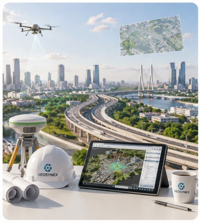
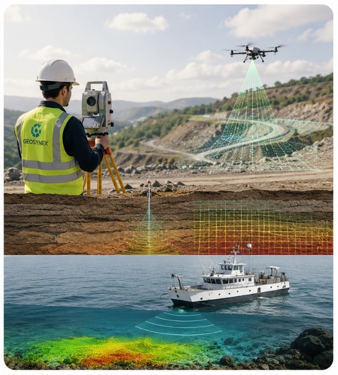
GeoSynex Dynamics Pvt. Ltd. is a leading technology-driven engineering company providing integrated solutions across Geospatial, Geotechnical, Geophysical, Marine, Structural Health Monitoring (SHM), LiDAR & 3D Scanning, UAV Surveys, GIS, and Infrastructure Intelligence.
With over 40 years of combined industry experience, our leadership and technical team deliver innovative technologies, precision instrumentation, engineering consulting, and data-driven solutions that empower organizations to plan, build, monitor, and manage critical infrastructure with confidence.
We combine advanced sensing technologies, intelligent data acquisition, geospatial analytics, engineering expertise, and digital solutions to transform complex field data into actionable insights. Our integrated approach enables clients to improve decision-making, enhance operational efficiency, reduce project risks, extend asset life, and maximize return on investment throughout the infrastructure lifecycle.
Our expertise supports a wide spectrum of industries, including Transportation, Highways, Railways, Metro, Airports, Smart Cities, Buildings, Oil & Gas, Power & Utilities, Renewable Energy, Mining, Marine & Coastal Infrastructure, Water Resources, Environmental Management, Defense, Industrial Facilities, and Urban Development.
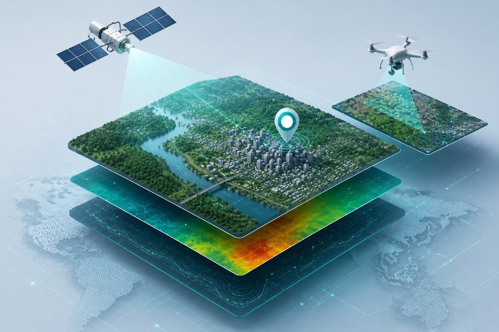
Geospatial Solutions encompass a wide array of services that capture, analyze, and visualize location-based data.
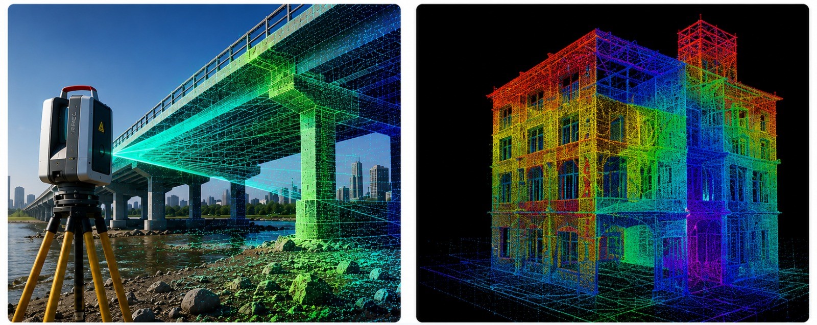
LiDAR and 3D scanning services utilize laser technology to rapidly capture hyper-accurate, non-destructive measurements.
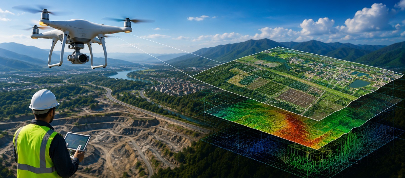
UAV (Unmanned Aerial Vehicle) and aerial survey solutions provide rapid, high-resolution topographical mapping and 3D modeling
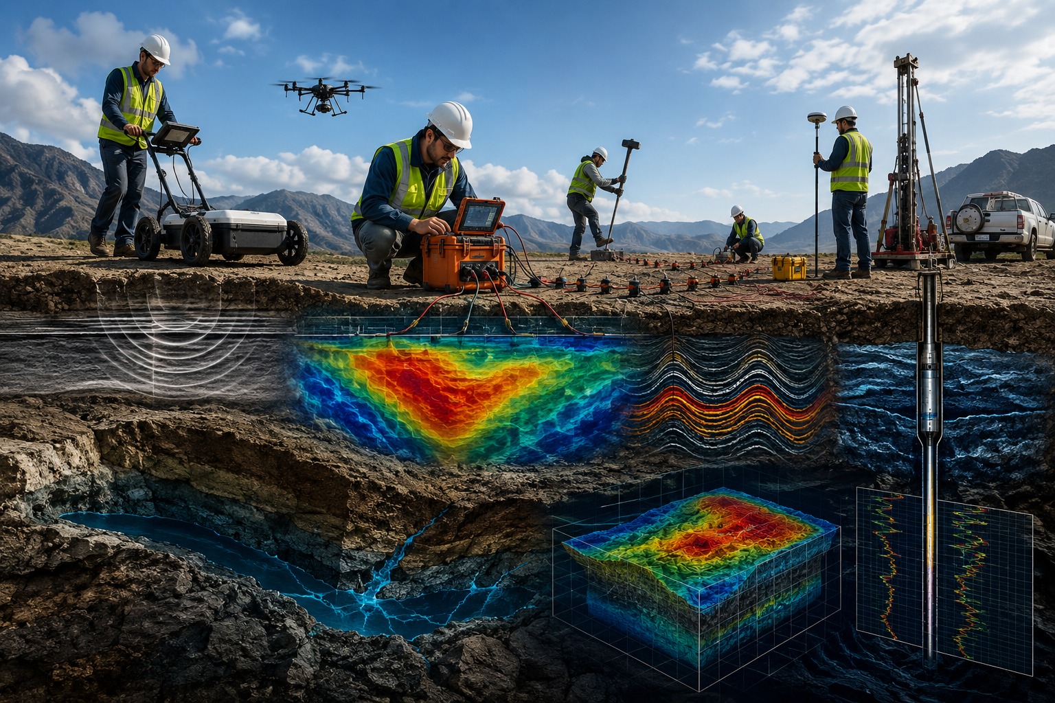
Geophysical solutions involve non-invasive subsurface surveying and mapping to analyze earth properties like rock, water, and minerals.
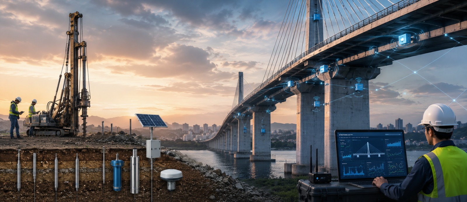
Geotechnical and Structural Health Monitoring (SHM) solutions provide continuous real-time assessments of infrastructure integrity
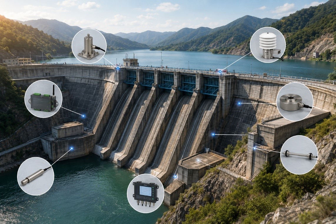
Structural Health Monitoring (SHM) solutions provide continuous real-time assessments of infrastructure integrity
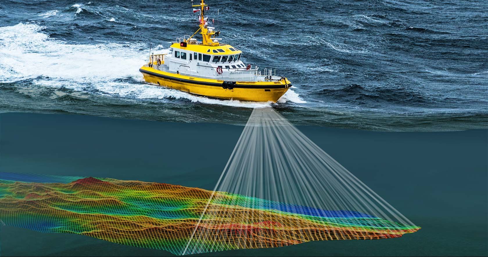
Marine echo sounders are essential acoustic solutions used to measure water depth, locate fish schools, and map underwater topography for navigation,
From expert system design to seamless installation and ongoing support, we combine technical expertise with a commitment to performance, safety.
We work alongside you to make projects smoother and more efficient. With the right technology and constant support, we help simplify operations, reduce rework, and improve productivity every step of the way.


